
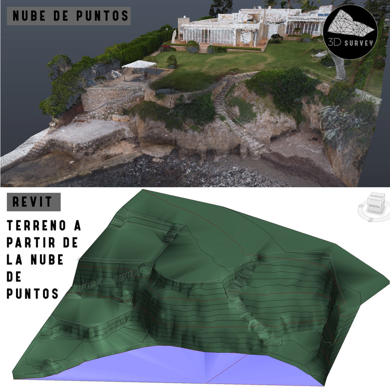
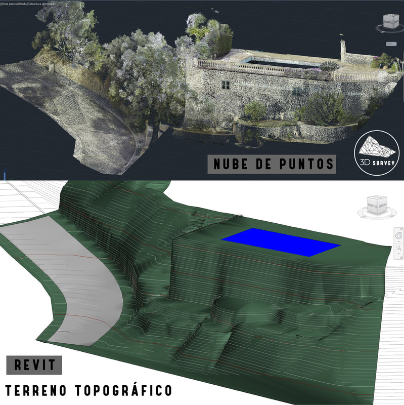
Today we want to talk to you about the Topographic Lands in Revit, more and more requested by the architecture offices, what they are looking for is to obtain a Topography of quality, in this case concretely a collaboration Barcelona – Mallorca.
The starting point will be a point cloud obtained with a Leica RTC 360 Laser Scanner, from there an import of our point cloud in .rcp format in Revit, to subsequently model the Topographic Terrain.
The final object of the project will be to project a new house from our Topography, it is a very common work that every time is being offered more and more and that begins to be part of our department of delineation.
We consider ourselves 3D specialists in either Point Clouds, 2D Drafting, 3D Drafting, Scan To Bim, 3D Modeling and thus in this way, be able to stay ahead of the different opportunities that may arise.
We invite you to follow us both in our Blog and in our social networks to see our latest projects.