
About us
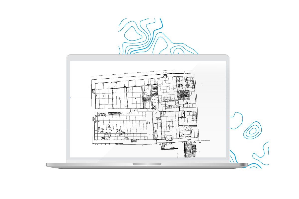
3D Survey
A DIFFERENT WAY
OF THINKING ABOUT SURVEYING
3D Survey was born with the idea of providing a highly specialized surveying service by incorporating the latest technology into our daily work. We are experts in 3D point clouds and high precision photogrammetry with drones, we also work with GPS and total stations to full cover every surveying area. Our goal is to work with the most powerful software and provide comprehensive solutions to any challenge we could have . Are you ready to join 3D Survey experience?
01
PASSION
After more than 10 years of working different projects, we still have the same enthusiasm and passion as the first day.
02
LATEST TECHNOLOGY
We integrate and adapt the latest technology equipments and software to provide an unique service.
03
PROFESSIONALISM
We provide the right solution for your needs with maximum dedication and hard work, always looking for outstanding results.
DO YOU HAVE A PROJECT IN MIND?
Write your comments, suggestions or request a service. We would like to serve you better.
Cristóbal Casabón
Darío Martínez
Daniel Martínez
OUR TEAM
We are a team composed of Technical and Superior Engineers in Topography, certified drone pilots by AESA, BIM specialists, experienced CAD Technicians, audiovisual experts, and most importantly, a team continuously undergoing training to stay at the forefront of Surveying.
OUR GOAL
To achieve your expectations by helping you with your project, we enjoy what we do, and we care in carrying out all our assignments with professionalism. We also expect your satisfaction with our job and future collaborations.
GET IN TOUCH, OUR TEAM WILL LOVE TO HELP YOU!
Do you need a quote or advice? Fill the form and let´s start solving your doubts an enquiries.