3D Survey | Working with RTK Drones, allowing us to achieve centimeter precision. Additionally, thanks to the use of advanced software, we can meet the requirements of any project with confidence.
Among the numerous advantages of mapping with drones, its suitability for covering large topographical areas and minimize capture time.
This service complements fieldwork by providing a visual tool that enhances understanding of the environment and topography.
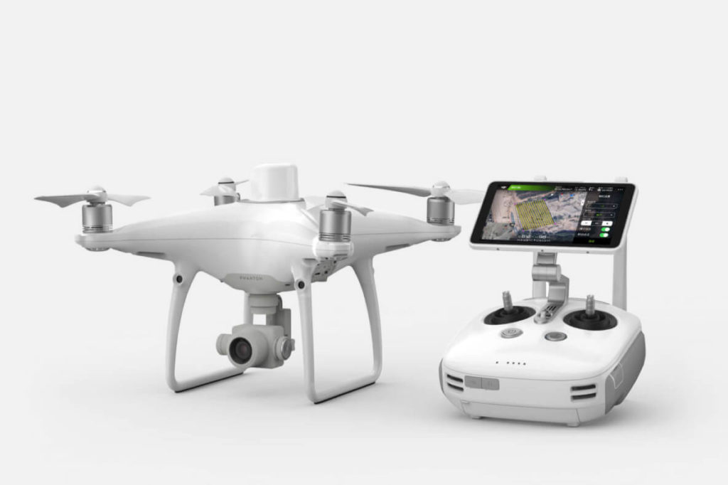
WHICH DRONES WE USE?
For this type of topographical surveys, we use the DJI Phantom 4RTK, a model specifically designed for topography and cartography, which enable to obtain data with improved precision and detailed accurate measurements.
Moreover, for data processing, we utilize leading photogrammetry software such as Agisoft Metashape and Pix4D.
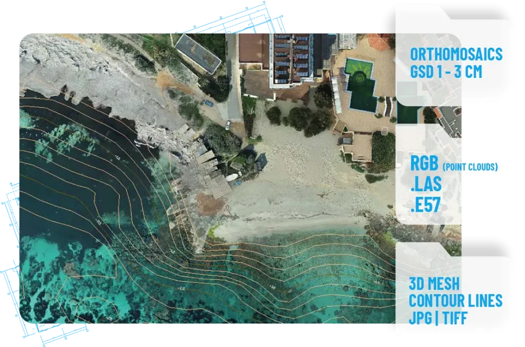
MAPPING FILES TO DELIVER
The deliverables will include RGB point clouds, high-resolution orthomosaics, facade orthoplanes, roof checks and orthophotos with a desired (GSD).
DO YOU NEED TO MAP A BIG FIELD EXTENSION?
Do you require a highly precise topographical survey for your project using a drone? Contact us, and we will help you to find the best solution for your needs.