We use 360 laser scanners and drones to fully capture the topographical environment in both urban and rural areas, allowing us to move beyond traditional 2D surveys and transition to 3D surveys. This approach provides greater detail, accuracy, and speed in conducting surveys.
WHAT TOOLS AND EQUIPMENT DO WE USE?
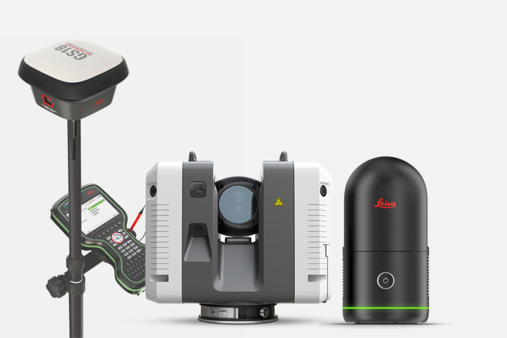
For conducting topographical surveys and surveying works, we use a terrestrial laser scanner and drones, supported by a high-precision GPS that allows us to obtain highly accurate terrain data.
Leica RTC 360
Leica BLK 360
Leica GPS GS18 T
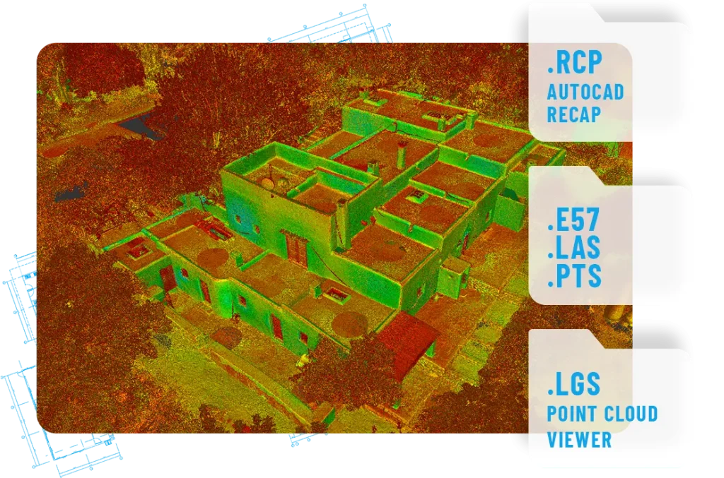
What type of files will you receive?
Based on your specific request, we will provide you with 2D CAD and PDF plans with X, Y, Z information, Point clouds for CAD, and various types of 3D deliverables that are also compatible with CAD and BIM software.
DO YOU NEED FLOOR PLANS, CROSS SECTIONS OR A MAIN ELEVATION OF YOUR FUTURE PROJECT?
3D Survey is the surveying company you need. Share your thoughts with us and we will contact you as soon as possible.