
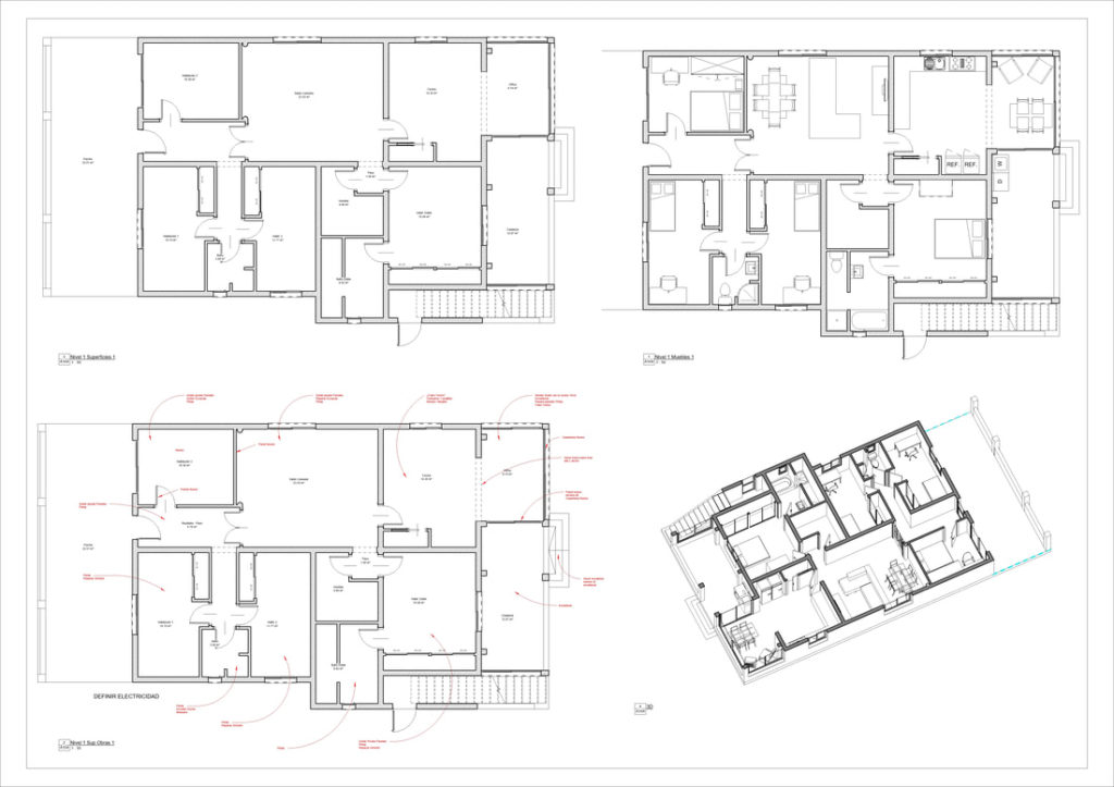

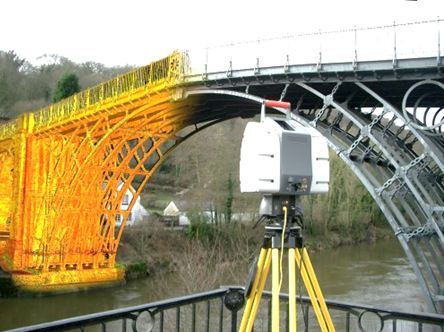
From 3D Survey we want to make a small review of how Topography has evolved in recent years, we have gone from the classic Topography with Total Station and Gps to long range scanners in distance and millimeter precision capable of capturing millions of points in just 1 minute, we even have Gps with inclinometer that also take images in the field, with these images we can even take coordinates of elements that we have not physically materialized.
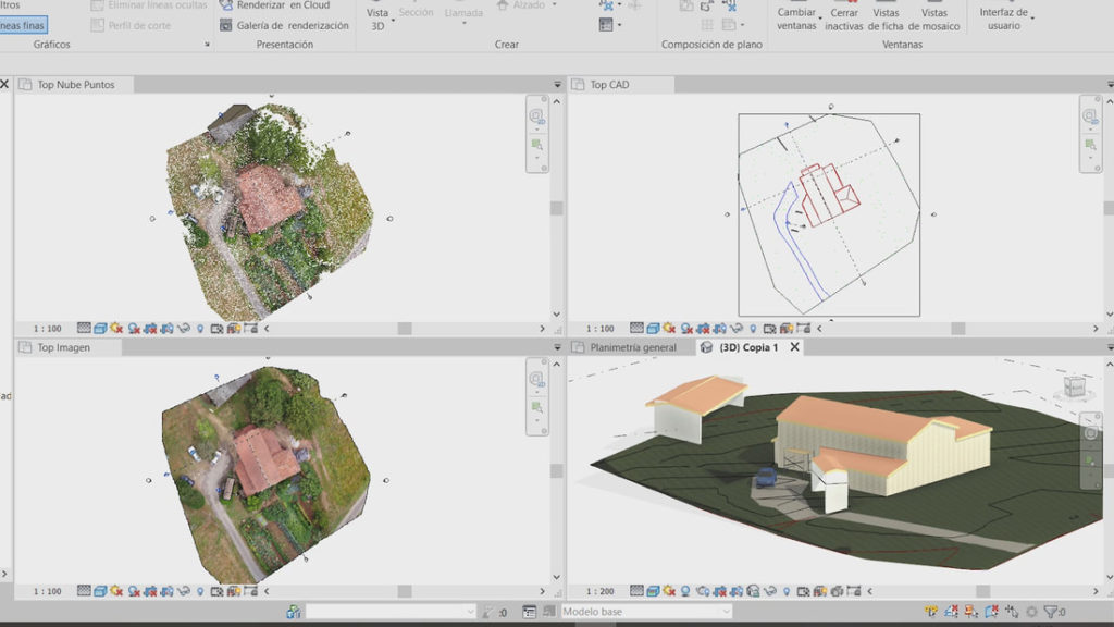
What to say about drones, the indispensable complement in our outings to take the photogrammetry in just 10-15 minutes, to obtain our Orthophotos / Orthomosaics and that cloud of points that will complement the work of the terrestrial laser scan. We will use a few geolocate the images and further process them in compatible software.
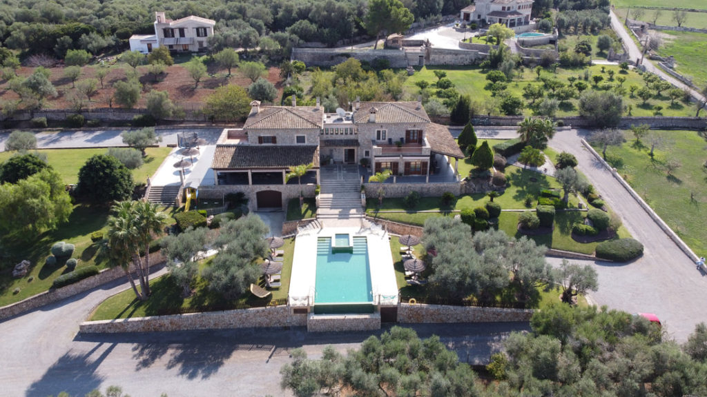
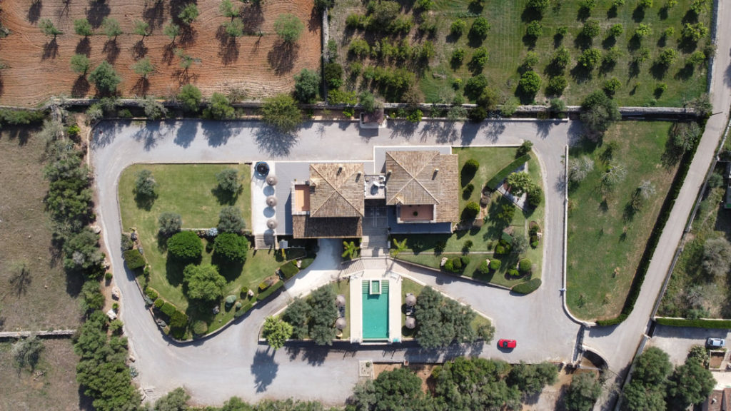
We are always in favor of taking some taking aerial views with drone either photography or video to improve the quality of the work and give a plus to the client that will always be appreciated and will give a more professional touch to our work.
And finally we will talk about the Virtual Tour, the latest to arrive in 3D Survey, 360 photos linked to each other that will give us a total view of what we measure and will help our clients understand the current state of their future project.
Our “car boot” will now be more loaded than ever, our GPS to geo-reference the work, our total station to support our laser scan work, our drone to cover everything from a bird’s eye view and our 360 camera to document interiors and exteriors.
3D Survey is here to stay and from here we invite you to comment, follow us and be part of our project which is to make a Different topography in Mallorca.