
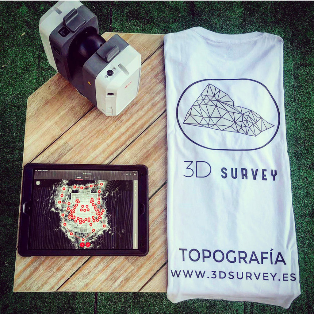
From 3D Survey we want to talk about the scanner RTC 360 by Leica, a terrestrial scanner that has become the best tool today for scanning any building of any size.
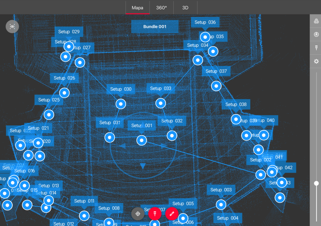
We will begin by telling you a little about this work that we offer in images, there were a total of 228 scans in just 8 hours (1 long working day), 2 days of processing with Cyclone Core and 3 days of plant delineation (simple) to almost cover the 5500 m2 of measured and delineated surface.
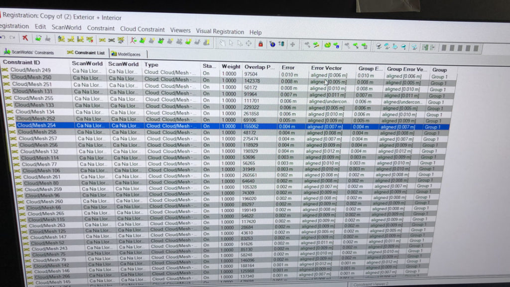
With a final error in relative values of 10 mm and in absolute values between 1 and 2 mmWe will not go into the differences between relative and absolute errors, or the noise of this wonderful scanner, we will simply say that if we had not used this scanner, the field work would have been much more cumbersome, even with a Leica BLK 360 (we would have doubled or tripled the final field and processing times), we will not go into how these errors are achieved because experience is a degree, and with almost 300 point clouds scanned and processed, the skills and dexterity of the technical staff is outstanding in the field.
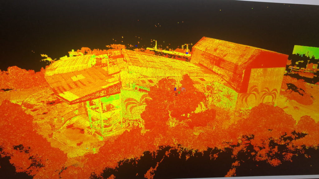
We believe that the future of graphical representation lies in point clouds and “scan to bim”. We have to get used to the massive data collection and understand that the 3D point cloud is the graphical representation that most resembles reality, little by little we will have to implement these measurement systems and work and/or project on them;
From 3D Survey we advocate 3D, that’s why we are in continuous training, with our experience in Point Clouds and Revit we want to give a total service at the level of Current State and As Built plans.